Description
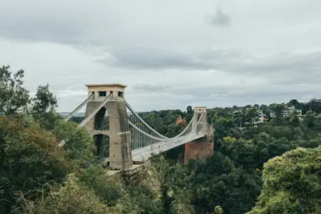
At the edge of this railway bridge is the entrance to Rownham Woods. The woods used to extend on both sides of the river but were cleared for buildings on the Hotwells side during the Georgian expansion of Bristol from the 1790s
Directions To Next TrekTik
From here enter Rownham Woods.
Fun Facts
“4 miles to Pill” sign – 20 minutes on a bike or an hour and 20 minutes to walk.
Nightingale Valley – can be found if you follow the sign towards Pill, and turn left just after you pass under the Suspension Bridge. This is alternative route to Clifton and will take about 40mins. The route you’re on will take about 20mins.
Bumpsy Trail – If you follow the sign towards Pill, after 40 mins you’ll reach the famous “Bumpsy Trail” with dozens of Mr Bump characters painted onto boulders [1, 2]
The Railway bridge sign – reads “THIS BRIDGE IS: POD 121m 68.75ch. CLIFTON BRIDGE OVERBRIDGE”
1 – “POD” = The Engineers’ Line Reference (ELR) for the Portishead Branch Line
2 – “121m 68.75ch’ = The distance from London Paddington in Miles and Chains (22 yards or 1/80th of a mile)
3 – “CLIFTON BRIDGE OVERBRIDGE’ = It’s name.
Old – The bridge was built in 1865